Yunque National Rainforest – Paradise in Paradise
YUNQUE
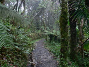
Sacred to the Taíno long before the Spanish conquest, El Yunque National Forest dominates eastern Puerto Rico like a protective wall, absorbing most of the rain hurled into the island by the trade winds. Part of the US National Forest system, its well-paved roads, enlightening visitor centre and network of clearly marked trails make it the most accessible reserve in the Caribbean.
You can drive right into the heart of the forest, but to really appreciate the area you need to go hiking.
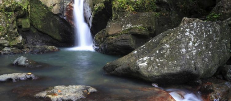
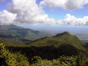
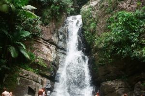
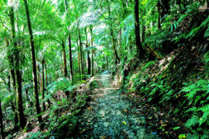
The Forest Service maintains thirteen trails ranging from easy, concrete paths to more challenging dirt tracks, but even the trek up to the peak of El Yunque itself (the name refers to both the reserve and the mountain) is manageable for anyone of moderate fitness and well worth the effort for the momentous views from the top. Less taxing highlights include a series of plunging waterfalls and natural swimming pools, perfect for cooling down in the summer and a smattering of whimsical structures created by the Civilian Conservation Corps in the 1930s.
Most tourists visit El Yunque on day-trips, which is a shame – you’ll get a lot more out of the place by staying at one of the enticing guesthouses nearby. Half the visitors to the forest are Puerto Ricans, who typically come in the hot summer months of July and August when the northern section is often bursting with traffic. More foreigners tend to visit in the winter and early spring, making mid-April to mid-June and September through to October the quietest periods, but it’s relatively easy to escape the crowds at any time. The average temperature of the forest is 73˚F (21˚C), but in winter, the highest peaks can be 20 degrees cooler than the coast (53˚F, 12˚C). And be prepared for rain: El Yunque is a rainforest after all, with an average deluge of 605 billion litres each year.
Brief history
The Taíno regarded El Yunque as a sacred mountain, the place where Yokahú or Yukiyú, their chief god, made his home (yuké meant “white lands” in Taíno, referring to the clouds). For seventy years after the Spanish conquest the Sierra de Luquillo was a base for resistance against the invaders, but over the following three centuries, farming gradually made headway and large areas of the lower slopes were converted to fruit or coffee plantations.
Much of what you see in the forest today – cabins, towers and even highway PR-191 – was constructed by the Civilian Conservation Corps between 1935 and 1943. Around 2400 Puerto Ricans were enrolled in this US public works programme, with most of it completed by back-breaking manual labour.
Highway PR-191, which had linked the northern and southern sections of the forest, was seriously damaged by four major landslides between 1970 and 1979, and the mid-section was closed permanently in 1972. In 1976, El Yunque became a UN Biosphere Reserve and several attempts to rebuild the road (notably in 1993) were thwarted, in part by the opposition of local environmental groups – virtually everyone now agrees that the road is simply not practical to maintain. Despite the inconvenience to visitors, hurricanes are regarded as part of the natural cycle, allowing the forest to regenerate. By absorbing the full impact of these storms, many locals believe that El Yunque actually protects Puerto Rico from greater catastrophe: in the Taíno tradition, Yukiyú always fought with Juracán (the god of hurricanes) to save his people.

