Panoramic Route – Ruta Panorámica
The Panoramic Route
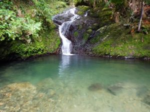
Slicing across the physical and spiritual heart of Puerto Rico, the Ruta Panorámica or Panoramic Route follows the highest ridges of the Central Cordillera for 266km. This scenic highway cuts through some of the least explored but most rewarding parts of the island, snaking among mist-shrouded peaks, scintillating viewpoints and dense, dimly lit forests.
This is rural Puerto Rico at its most traditional, a patchwork of small coffee farms shrouded in palo colorado forest, where the local colmado (shop) doubles as a bar, and smoky roadside barbecues cook up roast pork and thick wedges of banana. It’s a landscape inhabited by the descendants of the jíbaros, the hard-working peasant farmers who first colonized the jungle-drenched slopes and who embody much of Puerto Rico’s romantic ideas about its past: humble but wise, poor but proudly independent.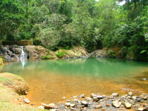
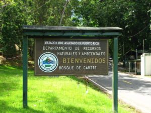
In your panoramic route, you can follow the route in either direction, but the further west you drive, the more rural and traditional things become. The Bosque Estatal de Carite is one of four forest reserves along the way, with basic camping facilities and trails in various states of use, while the lechoneras of Guavate roast succulent hunks of pork nearby. Keep heading west and you’ll reach workaday Aibonito, host to an exuberant flower festival and the staging post for the Cañón de San Cristóbal, a dizzying gorge en route to Barranquitas, one of the region’s most absorbing towns.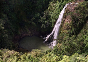
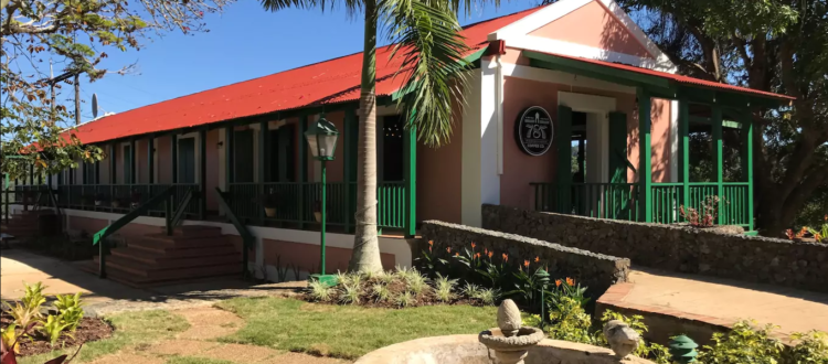
Straddling the centre of the island, the Bosque Estatal de Toro Negro is Puerto Rico’s most alluring forest park. Nearby Jayuya has become the focus of a mini-Taíno revival, and Adjuntas remains a conservative, traditional hill town, though it’s home to Casa Pueblo, a cultural centre and hub of environmental activism. Finally, perched on the western end of the cordillera, sleepy Maricao is enveloped by some of the world’s finest coffee plantations, and is home to the best of the mountain hotels, Hacienda Juanita.

